- Walking time 1h30 (4,9 km)
- Ascent/descent 249 m
- Difficulty Suitable for everyone
- Distance to the B&B 0,7 km
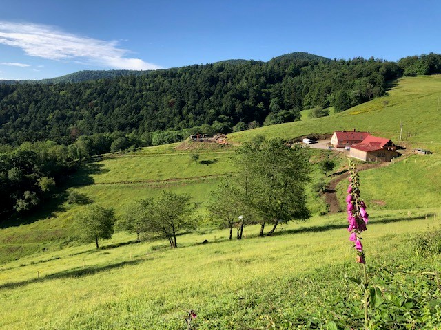
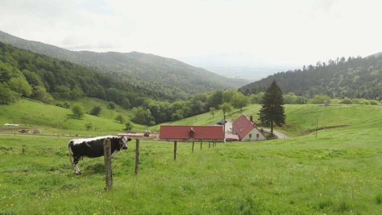
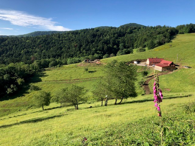
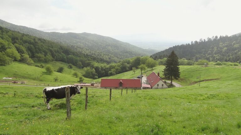
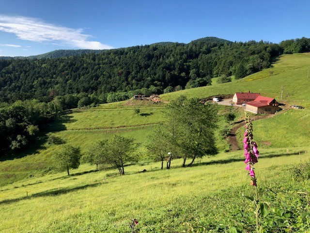
Situated at an altitude of 800 m, just a stone's throw from the Col Amic, the Kohlschlag farm overlooks the remote Soultz forest and offers magnificent views over the Alsace plain. The Route des Crêtes and the GR5 pass a little higher up.
Distance: 4,9 km Grotere kaart
Source: Office de tourisme du pays de Thann-Cernay (Official route sheet) via DATAtourisme, Licence Ouverte 2.0. Updated: